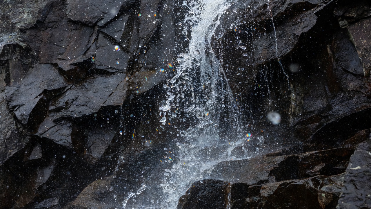
Look above the falling water
A waterfall draws attention to movement, but its setting may explain more than the falling stream itself. Find the point where the channel leaves a gentler slope and drops into the main valley. Look for a shelf, a tributary valley or a resistant band of rock. From a distant, safe viewpoint, these relationships are often clearer than they are directly beneath the spray.
In many glaciated landscapes, a smaller tributary glacier did not erode as deeply as the larger glacier it joined. Once the ice disappeared, the tributary floor remained above the main trough. This is a hanging valley. A stream reaching its edge may descend in one plunge or a sequence of steps. It is a common explanation for fjord-side waterfalls, but not a universal explanation for every waterfall in Norway.
Ice prepared the stage; water keeps changing it
Waterfalls can also reflect resistant bedrock, geological structures, changing base levels and river incision. Fractures influence where water flows and where blocks can detach. Over time, falling water and transported sediment can erode a plunge pool, undercut a ledge or help move a waterfall upstream. Frost action and rockfall may contribute to changes around the channel. The relative importance of each process requires local evidence.
A present-day cliff is therefore not a frozen snapshot of deglaciation. Rivers have continued to work on these valleys, and slopes have adjusted since the ice withdrew. When describing a view, distinguish the broad glacial setting from the detailed origin of the waterfall’s current lip. A regional explanation does not replace a geological investigation of a particular gorge.
The catchment controls the performance
The water you see may have arrived as recent rain, seasonal snowmelt, glacier melt or a mixture of sources. Lakes, wetlands and soil can temporarily store water and change how quickly it reaches a channel. High-elevation snow may persist after lowland snow has disappeared. Warm weather can increase melt, while dry periods can greatly reduce the flow of smaller streams.
Hydropower infrastructure adds another influence in some catchments. Reservoir storage and water diversion may change both the volume and timing of discharge. Do not infer that a thin waterfall proves drought or that a powerful waterfall proves untouched conditions. Consult current local information if flow is important to your visit, and avoid treating a seasonal photograph as a promise of what will be there.
Three useful places to compare
At Geirangerfjord, the Seven Sisters and nearby waterfalls make the relationship between steep fjord walls and descending tributaries especially visible. Their appearance changes with water supply and viewing angle. Rather than focusing only on the number of separate ribbons, trace the upper slope and ask where each channel collects its water before the drop.
Vøringsfossen, near Eidfjord, belongs to the dramatic Måbødalen setting. Established viewing structures help visitors see the waterfall and gorge without approaching unprotected edges. Steinsdalsfossen, near Norheimsund, provides a contrasting waterfall setting with a managed route behind the falling water when that route is open. Neither example should be reduced to “a waterfall into a fjord”: their immediate valley contexts differ.
For each location, check official access notices, weather and seasonal closures before travelling. This guide does not confirm that a walkway, road or viewpoint is currently open. A familiar attraction can still present changing risks from ice, flooding, wind, falling rock or maintenance work.
Read spray, moss and sound carefully
Persistent spray can support moisture-loving vegetation close to a waterfall, even when nearby rock is comparatively dry. Look for changes across that moisture gradient without stepping into fragile growth. Wind can move the spray zone, making a seemingly dry path wet in moments. A louder sound does not provide a reliable estimate of discharge because distance, wind and surrounding rock affect what you hear.
Use a designated viewpoint to make a simple record: weather, visible flow, wind direction and the position of the drop relative to the valley. A short exposure can show droplets, while a longer one describes continuous movement. Neither is more scientifically truthful by default; each emphasises different information. Never enter the channel, cross a barrier or stand beneath unstable rock to obtain a clearer view.