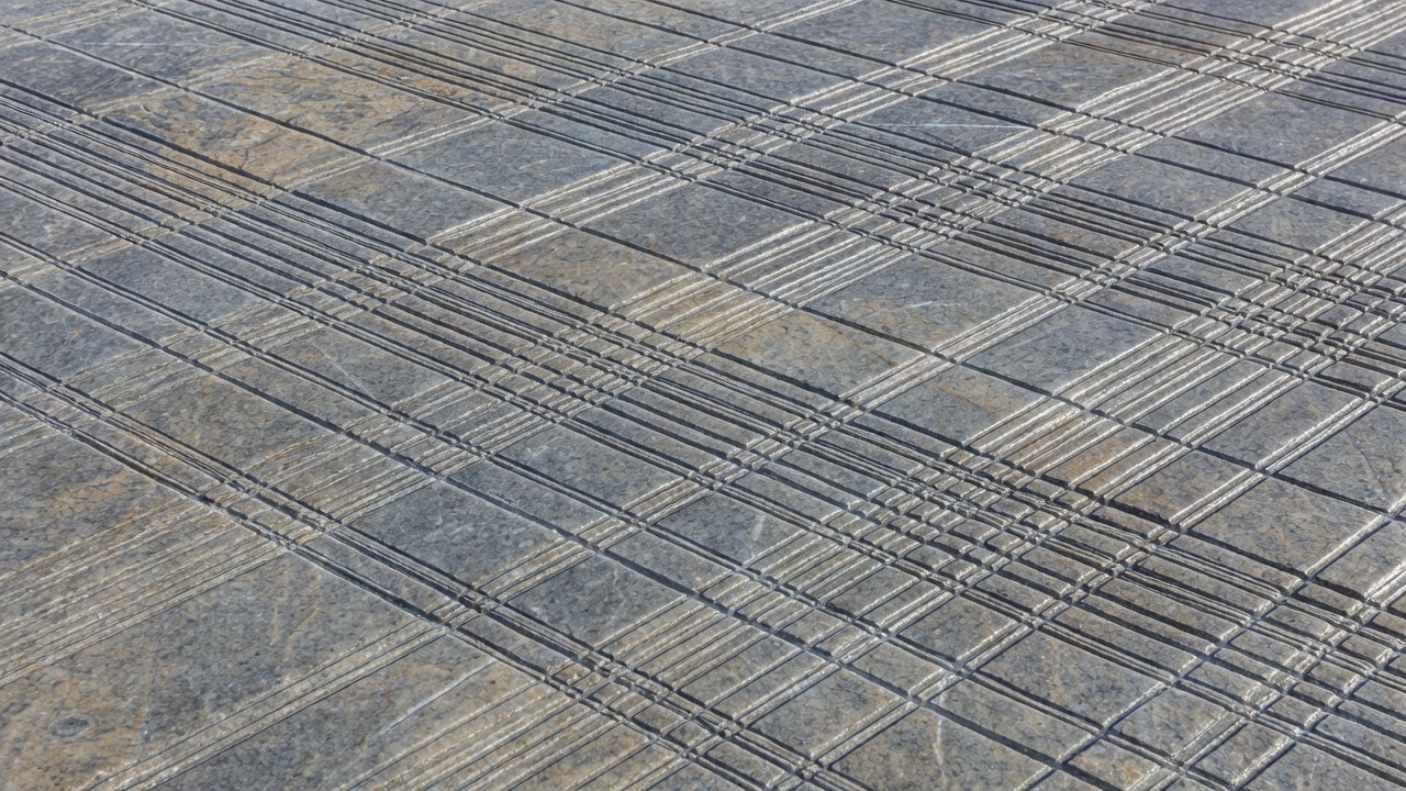
First, separate the surface from the story
A polished rock surface is an observation. The explanation that moving ice helped polish it is an interpretation supported by its texture, setting and associated features. Keeping those two steps separate is good field practice. Look for several roughly parallel scratches, rounded rock forms and a wider landscape that makes sense as a former ice route. Do not assume that every smooth coastal slab is glacial: waves, weathering and human activity can also alter exposed surfaces.
Many Norwegian fjords follow valleys that existed before their most recent glaciation. Rivers exploited slopes, fractures and weaker zones in bedrock. Repeated ice advances then modified those routes. The result is not a landscape made in one simple event, but an inherited terrain reshaped over many glacial cycles during the Quaternary.
How moving ice removes rock
A glacier is not a rigid block sliding intact down a valley. Ice deforms under its own weight, and some glaciers also move at their beds. Where basal conditions allow contact and motion, sediment carried by the ice can scrape the underlying rock. This abrasion produces scratches, polish and fine mineral sediment often called rock flour. The effectiveness of erosion depends on conditions including debris supply, water pressure, sliding and the character of the bedrock.
Plucking, also called quarrying, removes blocks rather than simply grinding a surface. Fractures and variations in water pressure help loosen rock that moving ice can carry away. Existing joints and rock structure therefore matter. A cliff face is not a direct measure of glacier strength: the rock’s arrangement and subsequent rockfalls also contribute to its shape.
Why the valley became a trough
Large glaciers can erode across a wider part of a valley than a river confined to a channel. Their work often leaves steep sides and a broad, approximately U-shaped cross-section. In places, erosion extends below present sea level, creating an overdeepened basin. A shallower threshold near the mouth, known as a sill, may reflect less erosion, resistant bedrock or deposited material. Not every fjord has an identical profile or sill history.
As coastal ice retreats, the sea can occupy the valley. Relative sea level depends on both ocean level and movement of the land. Norway’s crust, previously depressed under ice, has rebounded unevenly since deglaciation. Raised shorelines and marine deposits above today’s sea can preserve evidence of those changes. Present water depth alone cannot reveal how thick the ice was at a particular place.
A useful distinction: glacier ice excavated much of the basin; seawater occupies it today. A fjord is not a crack pulled open and filled with water.
Landmarks that make the processes visible
At Nærøyfjord, look across the water to compare the narrow floor with steep valley sides. At Aurlandsfjord, the established Stegastein viewpoint offers a broader view of the trough and surrounding uplands. Geirangerfjord adds conspicuous tributary waterfalls to the picture. Nærøyfjord and Geirangerfjord form the UNESCO-listed West Norwegian Fjords property, recognised in part for its exceptional glacial landscapes.
Lysefjord offers another dramatic rock-walled setting. Preikestolen is a bedrock platform above the fjord, not evidence that all surrounding rock has the same resistance or stability. Trolltunga, near Ringedalsvatnet, is a different setting again: the famous ledge is above a lake, not directly above a fjord. Distinguishing these settings makes a photograph a better educational record.
Make a small, defensible field record
From a permitted, safe stopping place, photograph a surface at two scales: one frame showing its surroundings and another showing the texture. Record whether a line is a groove, a crack or an uncertain mark. If you note an orientation, explain how you measured it and avoid claiming an ice-flow direction from alignment alone. Features such as asymmetrical bedrock forms can add evidence, but regional mapping remains important.
Never chip, scratch or clean bedrock to make a mark easier to see. Wet surfaces can be extremely slippery, especially near shorelines and waterfalls. The most useful field note often includes uncertainty: “parallel grooves on a polished slab, consistent with glacial abrasion” is more informative than an unsupported claim about exactly when a glacier passed.